How Does Drain Mapping And Tracing Work
Understanding the intricacies of underground drainage systems is pivotal for property management. Drain mapping and tracing offer a comprehensive view of these hidden networks, ensuring that property owners, business owners, and facility managers can make informed decisions about their infrastructure.
What is Drain Mapping and Tracing?
Drain mapping and tracing is a systematic approach to identifying the layout and components of underground drainage systems. This process is essential for managing a property’s drainage infrastructure, as it provides a detailed blueprint of sewer systems, gully locations, manhole positions, and the direction of water flow.
The Crucial Role of Drain Mapping for Property Management
For those responsible for the upkeep of properties, understanding the underground drainage system is crucial. It helps in preemptively identifying potential issues, planning construction projects, and maintaining the overall integrity of the infrastructure.
Optimal Timing for Drain Mapping and Tracing
Property owners should consider drain mapping and tracing before undertaking any construction activities. It is also advisable to conduct these surveys when purchasing new property, planning extensive renovations, or when faced with persistent drainage issues.
Professional Approach to Drain Mapping and Tracing
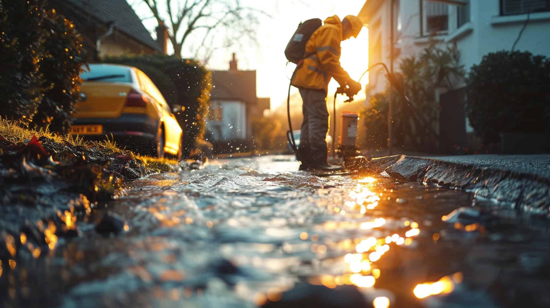
Professionals conduct drain mapping and tracing using a variety of advanced techniques and equipment. Sonar pulses, CCTV drain surveys, and GPS technology are among the tools utilised to create precise charts of the underground systems. This non-invasive method ensures a thorough analysis without disrupting the property’s daily operations.
The Importance of Accurate Drain Mapping
Accurate drain mapping is a critical component of modern infrastructure management. Precision in charting underground drainage systems is essential for several reasons. It ensures that the location, depth, and connections of sewers, gullies, and manholes are correctly identified, which is vital for effective construction planning and the maintenance of existing structures.
Preventing Property Damage
By accurately mapping drainage systems, potential issues such as blockages, system breaches, or wear can be identified and addressed before they escalate into costly damages. This proactive approach safeguards your property by preventing unexpected failures that could lead to structural damage or even flooding.
Environmental Compliance and Flood Risk Management
Drain mapping plays a significant role in environmental compliance and managing flood risks. It helps in delineating responsibilities among stakeholders and ensures that environmental regulations are met, particularly in managing stormwater and preventing pollution. Accurate maps are indispensable for flood risk assessment, allowing for the design of effective flood defence mechanisms.
Aiding Construction and Infrastructure Management
For construction projects, accurate drain mapping is indispensable. It informs the planning and design stages, ensuring that new developments do not interfere with existing underground services. Furthermore, it is crucial for ‘build over’ agreements where construction occurs near existing drainage. Accurate mapping also aids in the management of infrastructure by providing detailed insights into the condition and layout of the drainage system, which is essential for long-term maintenance and upgrades.
Technologies Utilised in Drain Mapping and Tracing
Understanding the technologies behind drain mapping and tracing can provide insights into how these processes contribute to the accurate assessment of underground drainage systems.
Sonar Pulses and CCTV Drain Surveys
Sonar technology is employed to emit pulses that reflect off subterranean structures, providing data on the location and condition of drainage systems. Complementing this, CCTV drain surveys offer a visual inspection, utilising cameras to traverse the interior of pipes and sewers, allowing for the identification of obstructions, damages, and the need for maintenance.
GPS Technology and Advanced GIS Mapping
Global Positioning System (GPS) technology and Geographic Information Systems (GIS) are integral to drain mapping. GPS provides precise location data, while GIS software compiles this information to create detailed maps of the drainage network. This combination ensures that the data collected is both accurate and usable for planning and analysis.
The Role of LIDAR Technology
Light Detection and Ranging (LIDAR) technology is crucial for terrain analysis. It uses laser light to measure distances to the Earth’s surface, generating accurate topographical maps. These maps are essential for understanding how terrain affects water flow, which is vital for drainage planning and mitigating flood risks.
The Process of Drain Mapping and Tracing Explained

Professionals in the field of drain mapping and tracing employ a systematic approach to accurately chart underground drainage systems. This process is essential for property owners, business owners, and facility managers to understand the intricacies of their property’s drainage system and to ensure proper maintenance and compliance with regulatory standards.
Initiating the Drain Mapping Procedure
The process begins with a preliminary assessment of the site and the objectives of the mapping. This includes identifying the scope of the project, the specific areas to be surveyed, and any particular concerns that need to be addressed, such as potential blockages or areas prone to flooding.
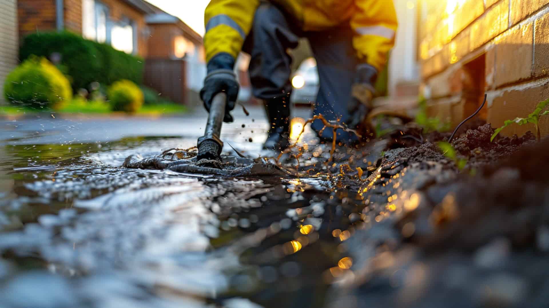
Conducting a CCTV Drain Survey
A comprehensive CCTV drain survey is a critical step in the mapping process. Professionals use specialised cameras to inspect the interior of drainage pipes and sewers. This allows for:
- Visual identification of blockages, damages, and wear.
- Assessment of the structural condition of the pipes.
- Determination of necessary repairs or maintenance.
Water Flow Tracing and Dye Testing
To understand the patterns and directions of water flow within the drainage system, professionals conduct water flow tracing and dye testing. This involves:
- Introducing non-toxic dye into the drainage system.
- Monitoring the flow to trace the path and destination of water.
- Identifying any discrepancies in expected flow patterns.
Precision with GNSS Equipment
Global Navigation Satellite System (GNSS) equipment plays a pivotal role in ensuring the precision of drain mapping. It provides accurate geospatial data, which is crucial for:
- Pinpointing the exact location of drains, manholes, and other components.
- Integrating the collected data with Geographic Information System (GIS) software for detailed mapping.
- Facilitating the creation of comprehensive reports and physical maps that are invaluable for planning and management purposes.
Essential Equipment for Drain Mapping and Tracing

The precision of drain mapping and tracing is heavily reliant on the quality and capabilities of the equipment used. Professionals in this field utilise a range of specialised tools to ensure the accuracy and comprehensiveness of their assessments.
Sonde and Trace Systems
A Sonde and Trace system is a pivotal tool in locating underground utilities. It operates by sending a signal from a transmitter located within the sonde, which is typically attached to a flexible rod that is inserted into the drainage system. The signal is then detected by a receiver above ground, allowing for precise pinpointing of the sonde’s location, and by extension, the drains.
CCTV Cameras and Transmitters
CCTV cameras are integral for the visual inspection of drainage systems. They provide real-time feedback on the condition of pipes and can identify blockages or damages that may require attention. Transmitters, often attached to the camera equipment, help in mapping the camera’s path and depth, contributing to the creation of an accurate map of the drainage network.
GIS Systems and OSGM15 Coordinates
Geographic Information System (GIS) technology is used to compile and analyse the data collected during drain mapping. It creates detailed visual representations of the drainage network, which are essential for planning and decision-making. OSGM15 coordinates, a geodetic datum for mapping in Great Britain, ensure that all spatial data is consistent and precise, enhancing the reliability of the maps produced.
Applications and Benefits of Drain Mapping

Drain mapping serves as a foundational tool in various stages of property development and management. It provides critical information that supports numerous applications, ensuring that infrastructure projects are built on a solid understanding of existing underground systems.
Supporting Pre-Construction and Sewer Mapping
Before construction begins, drain mapping is utilised to create a clear picture of the underground infrastructure. This ensures that new developments are designed with an awareness of existing drainage systems, preventing costly conflicts and allowing for seamless integration of new and old systems.
Integration with Building Information Modelling (BIM)
When integrated with Building Information Modelling (BIM), drain mapping becomes a powerful asset. It allows for a multidimensional view of the project, combining surface structures with the hidden network of drains. This holistic approach facilitates better decision-making and project outcomes.
Detailed Reports and Physical Maps
The tangible outputs of drain mappingdetailed reports and physical mapsprovide invaluable resources for property management. These documents offer a comprehensive view of the drainage system’s layout and condition, which is essential for maintenance planning and responding to issues as they arise.
Maintaining Property Value and Safety
Accurate drain mapping is instrumental in maintaining property value by ensuring the integrity of the drainage system. It also plays a crucial role in health and safety by identifying potential hazards within the system, allowing for preemptive action to mitigate risks.
Compliance and Regulatory Considerations in Drain Mapping

Compliance with water authority regulations and planning permissions is not only a legal requirement but also a critical aspect of responsible property management. Drain mapping plays a pivotal role in ensuring adherence to these standards.
Adhering to Environmental and Regulatory Standards
Drain mapping provides a detailed overview of the underground infrastructure, which is essential for:
- Meeting environmental regulations aimed at pollution control and sustainable water management.
- Ensuring that construction and development projects do not adversely affect existing sewer systems.
Implications of Non-Compliance
Failure to comply with regulatory standards in drain mapping can lead to:
- Legal repercussions, including fines and sanctions.
- Increased risk of environmental damage and public health concerns.
Ensuring Regulatory Adherence
Professionals ensure compliance during the drain mapping process by:
- Utilising precise technologies like GIS and GNSS to create accurate maps that meet regulatory requirements.
- Conducting thorough assessments to identify any potential issues that could lead to non-compliance.
- Providing detailed documentation that can be used to demonstrate adherence to regulations.
By prioritising regulatory compliance, professionals help protect both the environment and the interests of property owners.
Challenges in Drain Mapping and Solutions
Drain mapping, while essential, is not without its challenges. Professionals often encounter various obstacles that can impact the accuracy and efficiency of the mapping process.
Navigating Accessibility and Underground Complexity
Accessibility issues arise when underground systems are located beneath built-up areas or in regions with dense infrastructure. This can hinder the physical reach of equipment and the clarity of data collected. Additionally, the complexity of underground networks, with their myriad pipes, cables, and utilities, can complicate the mapping process.
Overcoming Technical and Cost Hurdles
Technical complexity and cost considerations are significant challenges in drain mapping. Advanced technologies and specialised equipment required for precise mapping can be costly, and the technical expertise needed to operate them adds to the overall expense.
Employing Trenchless Technology and Sewer Rehabilitation
To address these challenges, professionals turn to trenchless technology and sewer rehabilitation methods. Trenchless technology allows for minimal disruption to the surface and existing infrastructure, making it possible to access and map drains in difficult-to-reach areas. Sewer rehabilitation techniques, such as relining and patching, can be used to repair and maintain drainage systems, ensuring their longevity and reducing the need for frequent remapping.
By leveraging these solutions, professionals can deliver accurate and comprehensive drain mapping services, even in the face of challenging conditions.
Advanced Topics in Drain Mapping and Tracing
The field of drain mapping and tracing is witnessing significant advancements with the integration of new technologies that enhance the precision and utility of the data collected.
Real-Time Drain Monitoring Technologies
Real-time monitoring technologies are transforming the landscape of drain mapping. These systems provide continuous data on the flow and condition of drainage systems, allowing for immediate detection of issues and facilitating timely interventions. This proactive approach to monitoring can significantly reduce the risk of blockages and overflows, which are critical for maintaining the health of drainage infrastructure.
Machine Learning in Drainage Pattern Recognition
Machine learning algorithms are increasingly being utilised to analyse complex drainage patterns. These algorithms can process vast amounts of data to identify trends and predict potential problem areas within the drainage system. This predictive capability is invaluable for planning maintenance and preventing system failures.
Climate Change and Drain Mapping
Climate change is altering precipitation patterns, which has a direct impact on drainage systems. Drain mapping must now account for these changes to ensure infrastructure is resilient to more frequent and intense weather events. This necessitates more robust and adaptable mapping techniques to anticipate and mitigate the effects of climate change on urban drainage.
Drones and Augmented Reality
Drones and augmented reality (AR) are emerging tools in the field of drain mapping. Drones offer an aerial perspective, which is particularly useful for inspecting hard-to-reach areas and for large-scale mapping projects. AR, on the other hand, provides an interactive visualisation of the drainage system, allowing stakeholders to better understand and manage the underground infrastructure. These technologies are proving to be valuable assets in the accurate and efficient mapping of drainage systems.
Professional Services and Expertise in Drain Mapping

When considering drain mapping and tracing services, the expertise of the professionals involved is paramount. The qualifications and certifications of these experts are not just formalities; they are assurances of quality and reliability.
Qualifications and Certifications for Professionals
Professionals in the field of drain mapping should possess a combination of technical qualifications and practical certifications. These often include:
- Engineering degrees or diplomas in related fields.
- Certifications in geographic information systems (GIS).
- Training in the use of specific technologies such as CCTV, sonar, and LIDAR.
The Impact of Professional Expertise
The success of a drain mapping project hinges on the expertise of the professionals conducting it. Their experience ensures that:
- The most appropriate and effective mapping techniques are used.
- Data is interpreted accurately.
- Potential issues are identified and addressed proactively.
The Importance of Checkatrade Approval
Choosing services that are Checkatrade approved offers additional peace of mind. Checkatrade is a directory of vetted tradespeople, and approval signifies:
- A history of reliable and high-quality service.
- Adherence to industry standards.
- Positive feedback from previous customers.
Ensuring Detailed Reporting and Advice
Professional services provide more than just the mapping itself. They ensure that you receive:
- Detailed reports that are easy to understand and actionable.
- Advice tailored to the specific needs of your property or project.
- Support for jobs of all sizes, ensuring that every client’s needs are met comprehensively.
Environmental Benefits of Comprehensive Drain Mapping

Comprehensive drain mapping plays a significant role in environmental protection and management. By providing a detailed blueprint of underground drainage systems, it supports various environmental initiatives.
Pollution Control and Spill Response Planning
Drain mapping is instrumental in pollution control. It enables environmental agencies and facility managers to:
- Identify potential contamination sources.
- Develop effective spill response strategies.
- Monitor drainage systems for signs of pollution.
Mitigating Water Damage and Preserving Structural Integrity
A well-mapped drainage system helps in mitigating water damage by:
- Facilitating the design of effective water management solutions.
- Preventing water infiltration that can weaken structures.
- Ensuring proper drainage to protect the integrity of buildings and roads.
Balancing Environmental Considerations with Development
Professionals balance environmental stewardship with infrastructure development by:
- Using non-invasive mapping techniques to minimise ecological disruption.
- Incorporating environmental impact assessments into their mapping projects.
- Advising on sustainable practices that align with infrastructure goals.
Through these measures, drain mapping contributes to the preservation of the environment while supporting responsible infrastructure development.
Recognising the Value of Drain Mapping and Tracing
Drain mapping and tracing are not merely technical exercises; they are critical practices that ensure the longevity and functionality of a property’s drainage system. For property owners, business owners, and facility managers, understanding the layout and condition of underground drainage is indispensable for several reasons.
Safeguarding Infrastructure
Comprehensive drain mapping and tracing serve as a proactive measure to safeguard against future drainage issues. By providing a clear picture of the underground infrastructure, these practices help in:
- Preventing unexpected repairs and associated costs.
- Planning for maintenance and upgrades with precision.
- Mitigating risks related to water damage and flooding.
Initiating Drain Mapping Projects
To initiate a drain mapping and tracing project, property owners should:
- Consult with professionals who specialise in this field.
- Determine the scope and objectives of the mapping.
- Discuss any specific concerns related to the property’s drainage system.
Staying Informed on Technological Advancements
Keeping abreast of advancements in drain mapping technologies can significantly benefit property management by:
- Allowing for the adoption of more efficient and accurate mapping methods.
- Enhancing the ability to respond to environmental changes and regulatory updates.
- Ensuring that the property’s infrastructure is managed using the latest industry standards and practices.
By recognising the importance of drain mapping and tracing, stakeholders can make informed decisions that contribute to the sustainable management of their properties’ drainage systems.